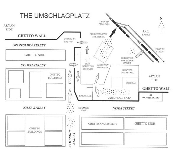
The Umschlagplatz Map
The Umschlagplatz Map
This is the most-detailed map in print of this horrendous location, known as the Umschlagplatz, in German. From July 1942 through May 1943, several hundred thousand Jews went through this “sorting” area enroute to their deaths.
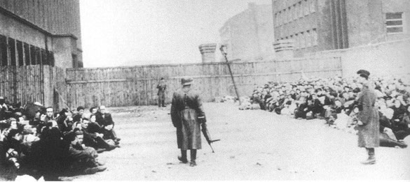
SS and Ukrainian Soldier Guarding Jews at the Umschlagplatz
SS and Ukrainian Soldier Guarding Jews
Just past the wooden wall leads to the Umschlagplatz. The sorting process has already begun, with many women and children on the right and older men on the left. Some will be sent on trains to labor camps, while others will go to Treblinka.
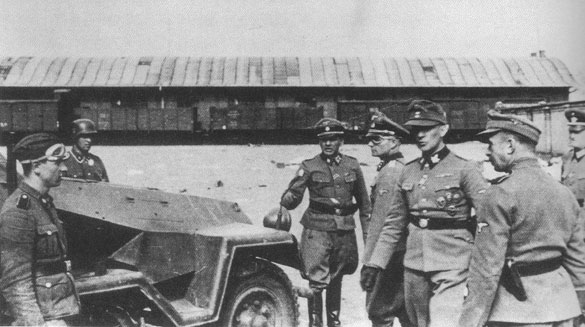
SS Officers with Half-Track at the Umschlagplatz
SS Officers with Half-Track at the Umschlagplatz (Trans-shipment Place)
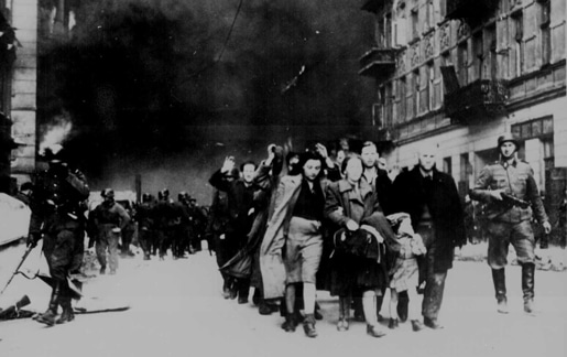
SS troops escorted Jews to this location, where they were sent by train to labor camps or where they boarded a train for the Treblinka extermination camp. Officer with many decorations and black gloves is Jürgen Stroop.
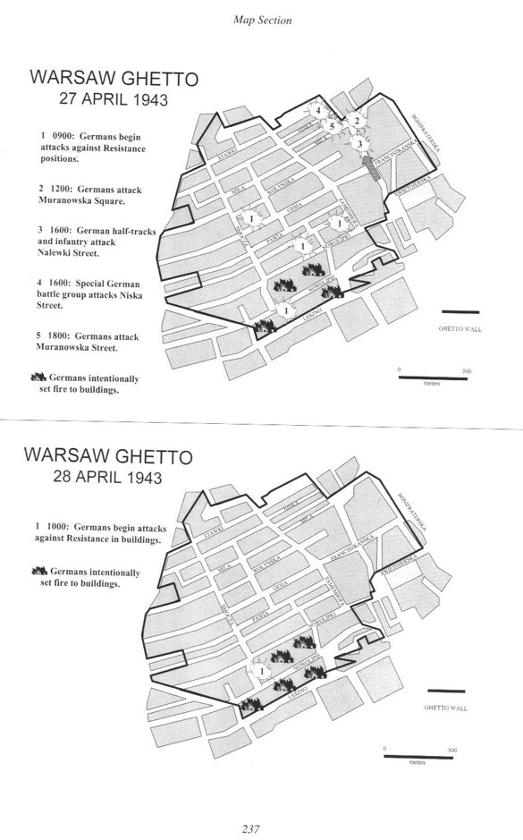
Daily Maps of the Warsaw Ghetto Fighting
Daily Maps of the Ghetto Fighting
There is a map for every day of the fighting, as the operation was very fluid with no set battle lines. These maps are for April 27 and April 28, 1943. In addition to the points of fighting, the areas of the Ghetto that the Nazis set afire are shown.
